Transit-Rich NYC Neighborhoods Wasted on Outdated Zoning, Building Congress Claims
By Mark Hallum March 14, 2023 10:00 am
reprints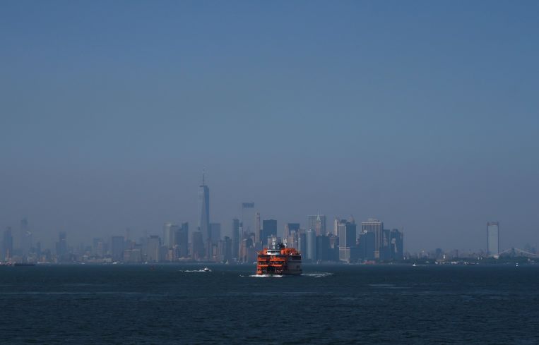
You might think that in a city with the largest transit system in North America there wouldn’t be any additional transit-oriented development to unlock without new infrastructure. Well, according to the New York Building Congress, you’re wrong.
A new report from the construction advocacy organization highlighted a corridor in Midtown Manhattan and two others in Queens where it said a number of tweaks to city and state legislation could unlock the potential for new housing.
“I think we all have to think about the big picture in terms of housing,” Buildings Congress CEO Carlo Scissura told Commercial Observer. “We are way behind in housing starts and it is possible that maybe we’re not looking at things right in front of our faces … If we don’t build [affordable housing] people can’t live in New York City anymore, that’s the bottom line.”
One of the top recommendations in the report would be for legislators in Albany to work on eliminating the floor to area ratio (FAR) cap — a measurement of a buildings square footage versus the size of the parcel — at the state level and for lifting the FAR limit on the city’s highest density residential zoning district, R10, which would be a task for the New York City Council.
A task for the city alone would be to end parking requirements in transit zones and do away with C8 districts which restrict housing but permit gas stations, repair shops, and warehouses. This could turn areas like Woodside, Queens into walkable, high-opportunity neighborhoods, according to the report.
In fact, Woodside between the 46th Street M, R trains and the Northern Boulevard M, R station was one of the highest ranking zones for transit-oriented development opportunities in the Building Congress’ report with both locations scoring about 9 out of 10.
But that potential is locked up behind a low-density zoning —with an 1.25 FAR or lower — and industrial uses, big box stores and parking lots that dominate a significant portion of land in this section of Queens.
A section of St. George, Staten Island immediately facing the water scored a 0.6 on the scale of transit-oriented development potential, and this is mostly because the neighborhood — while rich in transit with the Staten Island Ferry, bus terminal and a train station — has relatively few homes.
“With St. George in particular, there are not any homes there at all, so it actually brought the metric down instead of bringing it up,” the Building Congress’ director of policy and research, Carlo Casa, told CO. “Originally it came out looking like a central business district.”
Empty lots, industrial and some office buildings form the bulk of what has been developed on the North Shore of Staten Island, which Scissura believes is a missed opportunity for in-demand housing.
While plenty of developers have tried to add more housing to St. George in the past, many remained dormant for years. Most recently, Triangle Equities got to work building a $250 million mixed-use development right next to the St. George Ferry Terminal — which would include 115 residential units — but the project stalled for years after it broke ground. Triangle Equities restarted the work last year with plans to open in 2024, the Staten Island Advance reported.
Another surprising opportunity for housing highlighted by the organization was the stretch between Lexington Avenue-63rd Street station on the F, Q trains and the 68th Street Hunter College station on the 6 line. Both ranked 6.9 and 7.5, respectively, on the ranking system.
By the Building Congress’ count, potential residents here would be able to reach up to 2.5 million jobs in under 30 minutes on public transit. But a 12 FAR cap, historic zoning districts and building height requirements make changes for housing low, according to the report.
Mark Hallum can be reached at mhallum@commercialobserver.com.